iUTAH Team - Undergraduate iFellows
Andrew Hackett
Weber State University
Mentors:
Faculty: Sarah Null, USU
Graduate: Dave Betts, USU
Research Focus:
Research Focus Area 2
Major:
Geography-Environmental Emphasis
Biography:
Andrew Hackett is studying Environmental Geography at Weber State University. A love of visual arts and history led down a path towards spatial analysis, geography, and an interest in understanding the systems that affect society and the environment. Having spent most of his life in Utah, he is eager to participate in iUtah research, and ensure a sustainable future for the region he calls home.
iFellow Presentation:
Mapping Curbside Delievery of Secondary Water in Urban Areas of Cache Valley, Utah
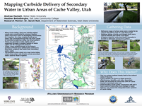
Presented by: Andrew Hackett
July 2016
Weekly Recap:
Week 1 | Week 2 | Week 3 | Week 4 | Week 5 | Week 6 | Week 7 | Week 8 | Week 9 | Week 10 | Week 11
Week 1: May 16-20, 2016
Right away, my team jumped into reading literature pertaining to the unique irrigation strategies of Logan to lay the groundwork for the research to come. It has been an exciting and busy week sorting through data and honing in on the scope of our projects. The campus is beautiful and the other students and faculty have been amazing!
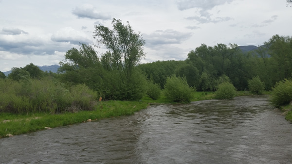
In the late 19th century Mormon settlers in Cache Valley began construction on what would become a robust system of canals
used for flood irrigation which are still in use today, many fed by the Logan River, seen here.
Week 2: May 23-27, 2016
This has been an exciting and busy week! I was able to help Maggi Kraft from USU's ACWA Lab collect and edit remote sensing data, and gained a lot of practical experience using GIS and managing metadata. Our lab also began work towards processing infrared imagery collected from the Swaner EcoCenter to build a mosaic for the area's wetlands, and my iFellow lab partner Heather Bottelberghe and I spent some time in the streets of Logan identifying urban areas that use curb delivered secondary water.
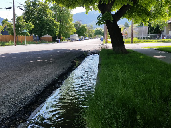
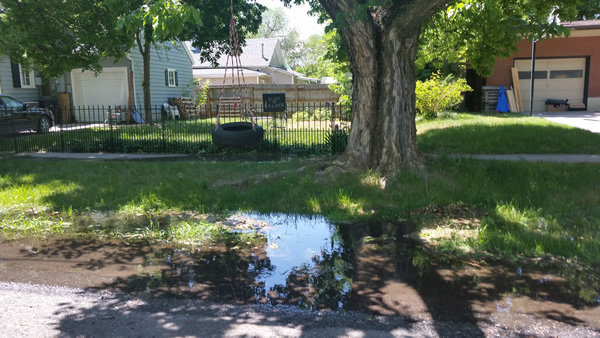
Many communities in Logan get their secondary water delivered via curbs along the street from which they can divert
the flow onto their property, continuing the flood irrigation method started when Cache Valley was initially settled.
Week 3: May 30-June 3, 2016
Week 3 has been quite a bit of fun; Heather Bottelberghe and I spent most of the week hitting the pavement and mapping the streets of Logan looking for places where secondary water is delivered via curbs. Already it is apparent there is a great deal of variety street to street, so it is important for us to take detailed notes and observations during our travels to then be digitized into ArcGIS.
Heather and I make detailed reference maps that we can then take notes on in the field. We can then use these to
build our map in ArcGIS back in the lab. Also shown: my water bottle. Stay hydrated!
Week 4: June 6-10, 2015
This week we continued to map the urban areas of Logan. It was incredibly hot and much of the city we covered didn't really have many large trees for shade or the flood irrigation we were looking for, but we needed to check for a complete map to be constructed. Through our travels it became apparent how much the Logan area has grown recently! Some streets and full neighborhoods weren't even on our reference maps! It was interesting to note the patterns of development going through the towns, and the ways people were using their water.
Week 5: June 15-19, 2015
This week we had a Cohort Session at the impressive BYU campus that culminated in a field trip up Provo Canyon to practice water-sampling techniques to measure stream flow, chemical content with a photometer, and how to prepare E. coli tests. Back at USU my week was mainly composed of inputting the attribute information from the notes taken in previous weeks for our curbside irrigation project and identifying areas that require closer scrutiny, as well as places we may have missed.
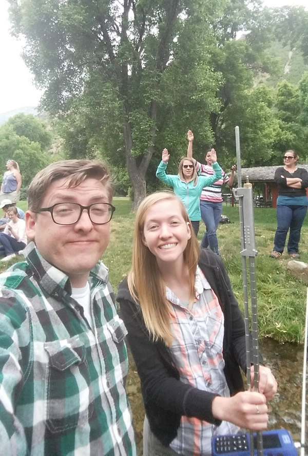
In this picture myself and iFellow Rebecca Lee are using a gauge to measure the depth and velocity of South Fork Provo River. Behind us are other iFellows and Mentors eager to come stand in the frigid water!
Week 6: June 20-24, 2016
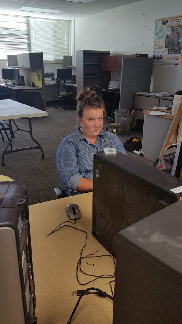
This was a relatively slow week of checking the data Heather and I had collected and exploring suitable ways to visualize the map. We also explored the use of other methods to conduct our study like Google Earth to re-examine portions of streets or check areas we may have missed.
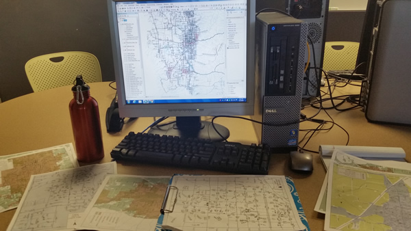
Here I'm wrapping up a preliminary map to be used for a poster discussing the work Heather and I have been doing
Week 7: June 27-July 1, 2016
This week I was focused on preparing a draft research paper and poster for our project, and continuing to digitize the curb types within Cache Valley. On Monday we had a very informative Cohort Session at the Natural History Museum of Utah and visited some GAMUT stations near the University of Utah.
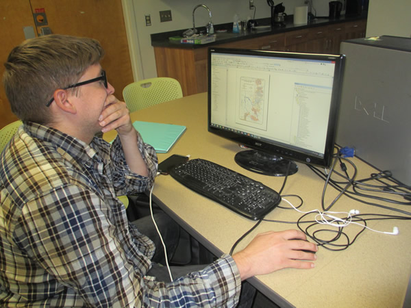
Here's my lab partner and iFellow Heather, after a morning of my puns and questionable advice as we work on draft presentations of our research. Having a fun partner like Heather has definitely been a highlight of the program!
Week 8: July 4-8, 2016

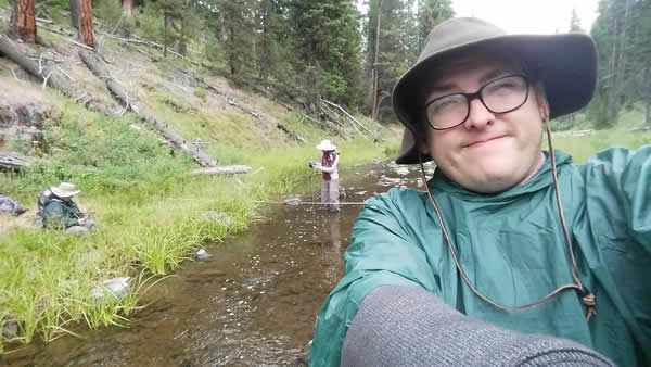
Behind me, Jessica Wood is taking a reading from a streamflow monitor every several centimeters across Meadow Creek while Heather notes the depth, distance, and flow reading. We'd trade duties, but usually I'd be gathering temperature readings, setting up solar pyranometers, and gathering GPS points.
Week 9: July 11-15, 2016
After getting back from Oregon, I was focused on finishing a poster to display the research I've been working on this summer. I got a chance to present my finished poster and get feedback from the other students at USU's ACWA Lab to prepare for the Symposium poster session. I had never done a poster exhibition before, but I really enjoyed the chance to discuss my project in person!
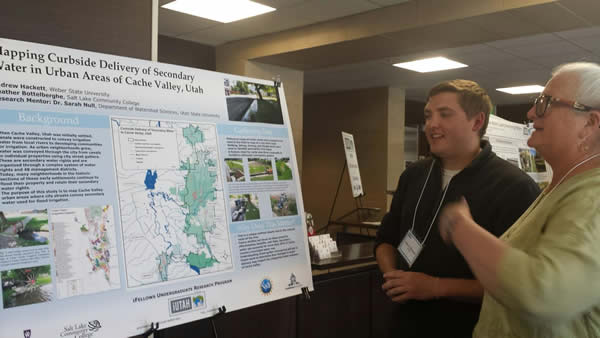
I really enjoyed getting a chance to discuss my project in person during the Symposium. Many visitors had interesting anecdotes and feedback and were great to talk to!
Week 10: July 18-22, 2016
As this summer's iFellows program winds down, this week has been spent double checking portions of the secondary water conveyance map I've been working on, as well as preparing a presentation and paper describing my research. A true test of time management skills.
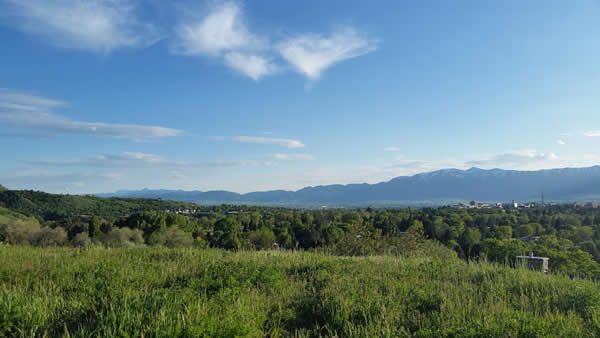
"Looking out over Cache Valley as I get ready to head back to Layton. I'm going to miss living here!"
Week 11: July 25-29, 2016
Fellow Andrew Hackett recaps his experience in the 2016 program.
All content provided on this iUTAH Team - Undergraduate iFellows weekly recap is unedited, updated by each participant to provide a review of their progress, and is for informational purposes only.