Logan River
The Logan River watershed is located in the heart of the Bear River range with headwaters near the Utah-Idaho border. The river flows southwest through Logan Canyon - a landscape dominated by formerly glaciated peaks, limestone cliffs, and the occasional sinkhole. The underlying bedrock has numerous caves that create natural springs that contribute to the river’s year-round discharge. Near the canyon’s mouth, the river is dammed in three locations (First, Second, and Third dams) for hydroelectric power generation. After exiting the mountains, the river flows west through Cache Valley and is impacted by a mixture of agricultural and urban environments. The Logan River converges with the Little Bear River in central Cache Valley before flowing north to the main stem of the Bear River and Cutler Reservoir.
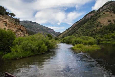
GAMUT Environmental Observatories
GAMUT or ‘Gradients Along Mountain to Urban Transitions,’ aquatic and climate sensor stations measure and record climate, hydrology, and water quality along the Logan River. Placement of each station was selected to help to monitor how water resources change as the landscape transitions from a natural mountain environment to an urbanizing valley. The highest elevation climate station is at 8,600 ft., and is located within the T.W. Daniels Experimental Forest (TWDEF). Stations are also located in upper Logan Canyon near the Beaver Mountain ski area, near the headwaters of the Logan River in Franklin Basin, in the vicinity of Tony Grove Road, at the mouth of Logan Canyon on the USU campus., and mixed urban/agricultural surface types on Mendon Road. Current conditions can be downloaded and/or visualized online and are archived and accessible via Logan River, or through HydroShare, an online data repository. Learn more about the Logan river climate station installation
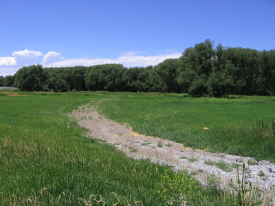
Climate Station Site
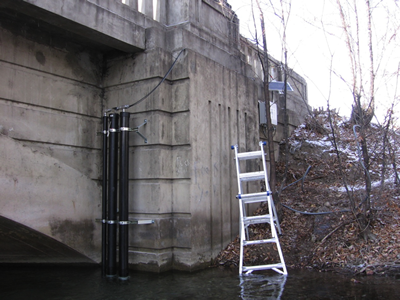
Aquatic Station
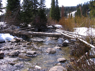
Franklin Basin Aquatic Site
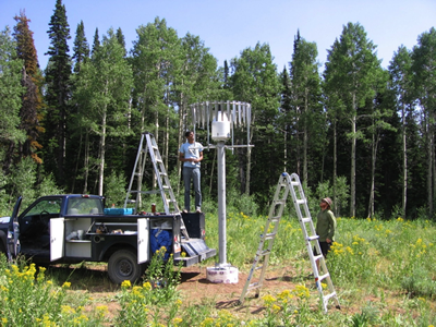
TWDEF Precipitation Gage installation
