iFellows News
June 4, 2015
iUTAH attends the National Conference of Undergraduate Research
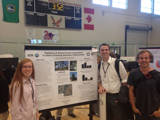
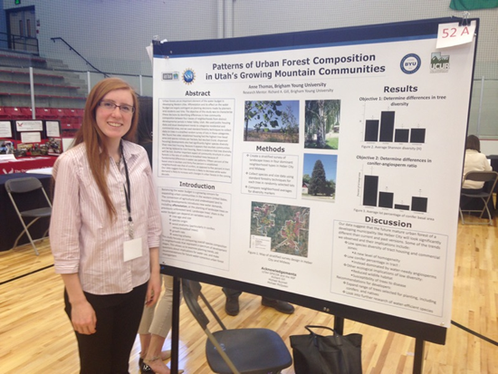
The National Conference of Undergraduate Research (NCUR) is an interdisciplinary conference where students representing universities from all around the U.S. present their research in oral and poster presentations. The conference was held at Eastern Washington University in Cheney, WA this April. iUTAH undergraduate researchers, Anne Thomas, Grant Holyoak, and Andrew Butterfield presented their research.
Anne attended the conference this April to present the urban tree survey she did as an iFellow in the summer of 2014. She has continued to work on the project and is currently writing a paper based on the study. Anne said, “NCUR was a wonderful opportunity to engage with others about my work. It was stimulating talking with so many other students involved with exciting research. I gained perspective on other research going on at the undergraduate level throughout the country and felt like part of a community. I made friends and felt respect for the accomplishments of every student there. I also feel more prepared for conferences I’ll attend in the future—I learned a lot about the conference atmosphere and organization, how to balance the demands of the conference, and how to make the most of my time there. I’m grateful for the opportunity I had to attend NCUR and look forward to where my research will take me in the future.”
March 22, 2015
Former iFellow Recognized at Intermountain Sustainability Summit
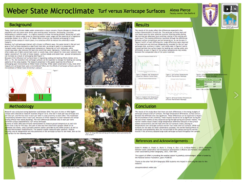
Weber State student and past iFellow, Alexa Pierce won first place in the undergraduate category at the sixth annual Intermountain Sustainability Summit poster session held on March 5, 2015. She not only won first, but also snagged the People’s Choice Award for the 2015 poster session at the Summit.
March 4, 2015
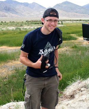
Look at what past iUTAH undergraduate researchers are doing now!
Timothy Beach, 2014 iFellow
Tim is currently studying Watershed Sciences at Utah State University with a minor in GIS. His project with Dr. Sarah Null as an iFellow last summer involved using GIS skills learned on campus to create and manipulate spatial information about Utah’s water situation. Thanks to this experience with iUTAH, Tim will have an internship, this upcoming summer with the Bear River Canal Company in Tremonton, Utah. He’ll be using GIS to help their coordination with the Bear River Migratory Bird Refuge. In addition to his summer internship he will also be working at the USU Water Quality Extension office, helping to create outreach materials for the iUTAH program. Tim is hoping to apply to graduate schools in the near future, most likely starting the fall of 2016.
February 10, 2015
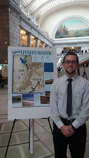
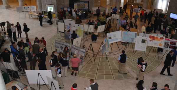
Timothy Beach, an undergraduate student mentored by Sarah Null in the Watershed Science Department at Utah State University, represented iUTAH at this year’s Maps on the Hill event at the State Capitol. Tim was an iUTAH iFellow last summer. During his research, he created a Utah water map with the assistance of Utah Valley University and iUTAH scientist Suzanne Walther and the sponsorship of iUTAH.
His water map describes statewide water resources, demands, and management to help visualize Utah's current and future water scarcity challenges. Tim presented his water map in English and Spanish to gain more access to a more diverse audience.
The 4th annual Maps on the Hill event is supported by the Utah Geographic Information Council (UGIC) and AGRC (Automated Geographic Reference Center).
This event held on January 28, 2015 offered a good opportunity for students and professionals to share maps, mapping tools, and mapping projects with elected officials, fellow practitioners, and the public. Participants included both individual mapping projects and organizations.
The event included a map display event that was held the first Wednesday of the 2015 Legislative session. The focus of the event was presenting interesting maps or map technology projects that are applicable to a wide audience.
According to Tim, “The presentation on the Hill went well! The few hours I was there ended up being a pretty good experience for me. School groups, legislators, and the general public were all there. There were a good amount of 9th graders that were interested in the map; they asked lots of questions about dams, water usage throughout the state, and GIS/map making. I brought some extra copies of the poster to give out to people and ended up giving two maps away to legislators, which I felt was a success. A few of the people even asked if it was available online. I also had a lot of good conversations with professionals who work with GIS and I think overall, Maps on the Hill was a success.“
